Cobham Road
Introduction
The photograph on this page of Cobham Road by Ian Capper as part of the Geograph project.
The Geograph project started in 2005 with the aim of publishing, organising and preserving representative images for every square kilometre of Great Britain, Ireland and the Isle of Man.

There are currently over 7.5m images from over 14,400 individuals and you can help contribute to the project by visiting https://www.geograph.org.uk
Cobham Road
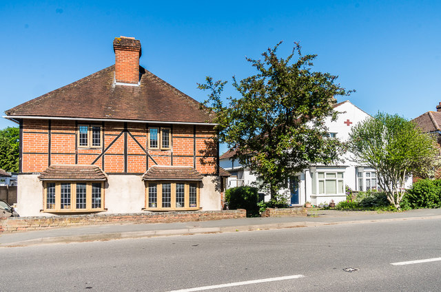
Image: © Ian Capper Taken: 26 May 2017
Pair of houses houses in Cobham Road. The 1869 1:2500 map shows an isolated building on the site of the one on the left (nos 198-200), long predating the 1930s development of this section of the road - the present building is either the original (presumably refurbished) or a later replacement. The white house to its right (nos 194-196) is also of different design from the rest of the road, being built with a "Dutch roof".
Images are licensed for reuse under creativecommons.org/licenses/by-sa/2.0
Image Location
Latitude
51.295379
Longitude
-0.353437