New footbridge and drain on Hawker's Lane
Introduction
The photograph on this page of New footbridge and drain on Hawker's Lane by David Martin as part of the Geograph project.
The Geograph project started in 2005 with the aim of publishing, organising and preserving representative images for every square kilometre of Great Britain, Ireland and the Isle of Man.

There are currently over 7.5m images from over 14,400 individuals and you can help contribute to the project by visiting https://www.geograph.org.uk
New footbridge and drain on Hawker's Lane
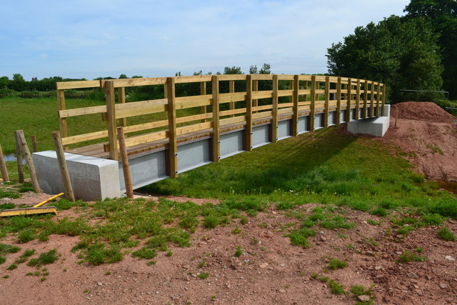
Image: © David Martin Taken: 28 May 2017
Part of a new drainage scheme. We soon discovered we were walking on a temporarily closed footpath, although the closure notice was hidden in head-high nettles beside a wide-open field entrance!
Images are licensed for reuse under creativecommons.org/licenses/by-sa/2.0
Image Location
Latitude
51.143621
Longitude
-3.063793