Cobham Road
Introduction
The photograph on this page of Cobham Road by Ian Capper as part of the Geograph project.
The Geograph project started in 2005 with the aim of publishing, organising and preserving representative images for every square kilometre of Great Britain, Ireland and the Isle of Man.

There are currently over 7.5m images from over 14,400 individuals and you can help contribute to the project by visiting https://www.geograph.org.uk
Cobham Road
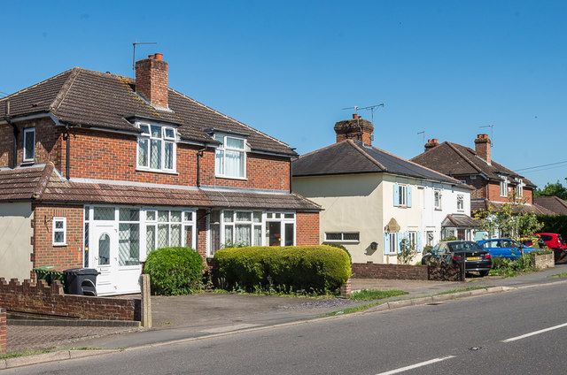
Image: © Ian Capper Taken: 26 May 2017
Mainly 1930s houses in Cobham Road. The 1869 1:2500 map suggests that the white house is on the site of an earlier building (although set further back from the road than the present building), and so it could have been built separately from its neighbours, hence the different design.
Images are licensed for reuse under creativecommons.org/licenses/by-sa/2.0
Image Location
Latitude
51.294312
Longitude
-0.3524