Railway east of Church Road, Basildon
Introduction
The photograph on this page of Railway east of Church Road, Basildon by Robin Webster as part of the Geograph project.
The Geograph project started in 2005 with the aim of publishing, organising and preserving representative images for every square kilometre of Great Britain, Ireland and the Isle of Man.

There are currently over 7.5m images from over 14,400 individuals and you can help contribute to the project by visiting https://www.geograph.org.uk
Railway east of Church Road, Basildon
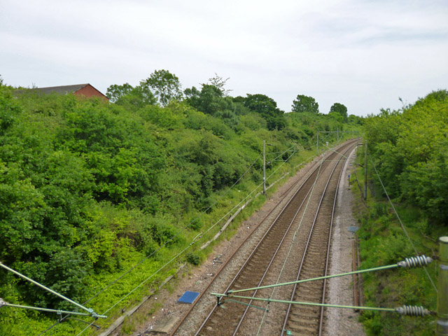
Image: © Robin Webster Taken: 28 May 2017
The LTSR short-cut route to Southend, completed in 1888, which knocked six miles off the 1856 route via Tilbury and avoided a great many features not helpful for fast running, such as many level crossings, sharp curves and significant freight traffic. This was at the expense of having to cross Langdon Hills. Here the line descends to rejoin the old route at Pitsea. This investment was spurred by imminent competition from the Great Eastern branch to Southend, which opened the following year.
Images are licensed for reuse under creativecommons.org/licenses/by-sa/2.0
Image Location
Latitude
51.568389
Longitude
0.477469