Path towards Clay Hill Road, Basildon
Introduction
The photograph on this page of Path towards Clay Hill Road, Basildon by Robin Webster as part of the Geograph project.
The Geograph project started in 2005 with the aim of publishing, organising and preserving representative images for every square kilometre of Great Britain, Ireland and the Isle of Man.

There are currently over 7.5m images from over 14,400 individuals and you can help contribute to the project by visiting https://www.geograph.org.uk
Path towards Clay Hill Road, Basildon
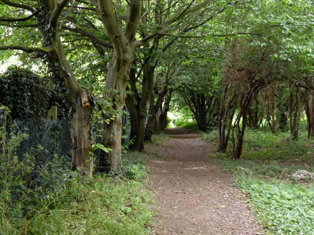
Image: © Robin Webster Taken: 28 May 2017
One of the more obscure walking routes close to the town centre.
Images are licensed for reuse under creativecommons.org/licenses/by-sa/2.0
Image Location
Latitude
51.567869
Longitude
0.463732