Vales Wood from the bridlepath up The Cliffe
Introduction
The photograph on this page of Vales Wood from the bridlepath up The Cliffe by John Haynes as part of the Geograph project.
The Geograph project started in 2005 with the aim of publishing, organising and preserving representative images for every square kilometre of Great Britain, Ireland and the Isle of Man.

There are currently over 7.5m images from over 14,400 individuals and you can help contribute to the project by visiting https://www.geograph.org.uk
Vales Wood from the bridlepath up The Cliffe
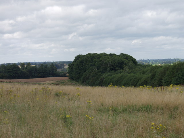
Image: © John Haynes Taken: 30 Aug 2007
This wood has trees of mixed ages, and has been coppiced at sometime. If you switch to the historic map it can be seen that this wood reached across to The Cliffe. The current grassland between the wood and The Cliffe is not grazed and carries an infestation of tansies (ragwort) which is an injurious weed. http://www.defra.gov.uk/rural/horses/topics/ragwort.htm
Images are licensed for reuse under creativecommons.org/licenses/by-sa/2.0
Image Location
Latitude
52.780575
Longitude
-2.897049