The bridlepath down from The Cliffe
Introduction
The photograph on this page of The bridlepath down from The Cliffe by John Haynes as part of the Geograph project.
The Geograph project started in 2005 with the aim of publishing, organising and preserving representative images for every square kilometre of Great Britain, Ireland and the Isle of Man.

There are currently over 7.5m images from over 14,400 individuals and you can help contribute to the project by visiting https://www.geograph.org.uk
The bridlepath down from The Cliffe
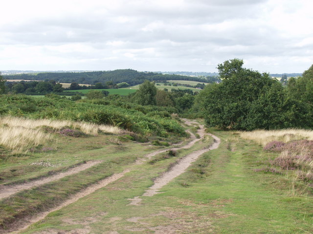
Image: © John Haynes Taken: 30 Aug 2007
The Cliffe is a sandstone outcrop which is a common. Natural England are trying to maintain a good heathland structure, encouraging heathers and lings and suppressing bracken and birch scrub by cutting. It is hoped to provide a good habitat for the rarer heathland insects.
Images are licensed for reuse under creativecommons.org/licenses/by-sa/2.0
Image Location
Latitude
52.785517
Longitude
-2.897299