Honeypot Lane bus stop, Whitmore Way, Basildon
Introduction
The photograph on this page of Honeypot Lane bus stop, Whitmore Way, Basildon by Robin Webster as part of the Geograph project.
The Geograph project started in 2005 with the aim of publishing, organising and preserving representative images for every square kilometre of Great Britain, Ireland and the Isle of Man.

There are currently over 7.5m images from over 14,400 individuals and you can help contribute to the project by visiting https://www.geograph.org.uk
Honeypot Lane bus stop, Whitmore Way, Basildon
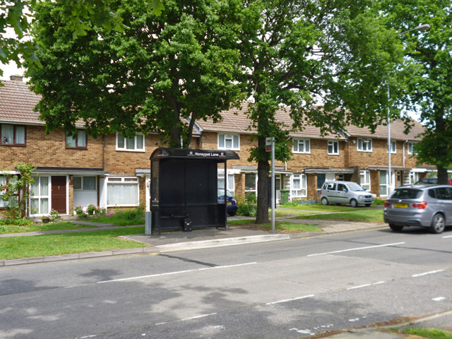
Image: © Robin Webster Taken: 28 May 2017
Honeypot Lane is a survivor from before new town days here, although the actual lane is much fragmented now within the new road system.
Images are licensed for reuse under creativecommons.org/licenses/by-sa/2.0
Image Location
Latitude
51.574762
Longitude
0.465259