Hill Bottom
Introduction
The photograph on this page of Hill Bottom by John Allan as part of the Geograph project.
The Geograph project started in 2005 with the aim of publishing, organising and preserving representative images for every square kilometre of Great Britain, Ireland and the Isle of Man.

There are currently over 7.5m images from over 14,400 individuals and you can help contribute to the project by visiting https://www.geograph.org.uk
Hill Bottom
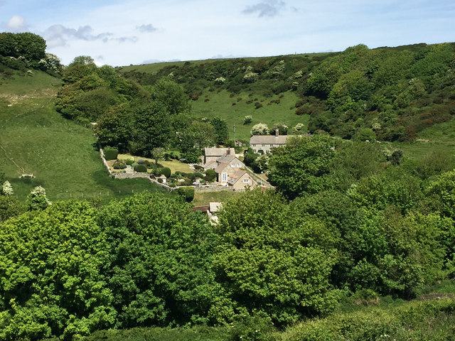
Image: © John Allan Taken: 21 May 2017
Seen from the diverted South West Coast Path which comes inland here to avoid recent landslips.
Images are licensed for reuse under creativecommons.org/licenses/by-sa/2.0
Image Location
Latitude
50.599639
Longitude
-2.055759