Blakes Avenue, Cogges, Witney, Oxon
Introduction
The photograph on this page of Blakes Avenue, Cogges, Witney, Oxon by P L Chadwick as part of the Geograph project.
The Geograph project started in 2005 with the aim of publishing, organising and preserving representative images for every square kilometre of Great Britain, Ireland and the Isle of Man.

There are currently over 7.5m images from over 14,400 individuals and you can help contribute to the project by visiting https://www.geograph.org.uk
Blakes Avenue, Cogges, Witney, Oxon
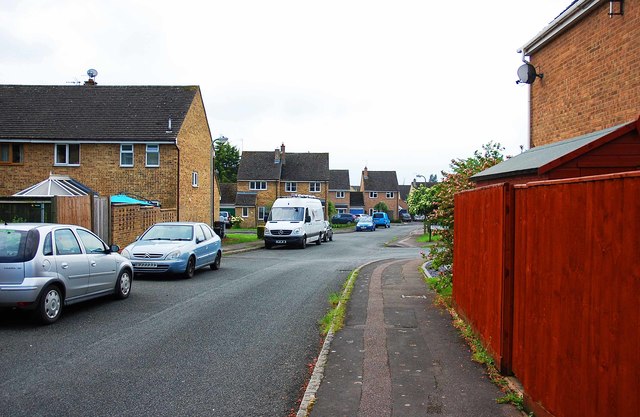
Image: © P L Chadwick Taken: 27 May 2017
In this direction the road leads to Eton Close, from which Stanton Harcourt Road can be reached. The Cogges Estate, of which Blakes Avenue is part, contains modern housing and is on the edge of the town. Image
Images are licensed for reuse under creativecommons.org/licenses/by-sa/2.0
Image Location
Latitude
51.780624
Longitude
-1.468696