Blakes Avenue, Cogges, Witney, Oxon
Introduction
The photograph on this page of Blakes Avenue, Cogges, Witney, Oxon by P L Chadwick as part of the Geograph project.
The Geograph project started in 2005 with the aim of publishing, organising and preserving representative images for every square kilometre of Great Britain, Ireland and the Isle of Man.

There are currently over 7.5m images from over 14,400 individuals and you can help contribute to the project by visiting https://www.geograph.org.uk
Blakes Avenue, Cogges, Witney, Oxon
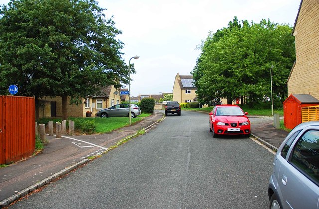
Image: © P L Chadwick Taken: 27 May 2017
In this direction this road of modern housing eventually comes out on Cogges Hill Road. The combined cycleway and public footpath on the left provides a route to Witney's town centre. Image
Images are licensed for reuse under creativecommons.org/licenses/by-sa/2.0
Image Location
Latitude
51.781074
Longitude
-1.468691