Stipenhoke, Henfield Common North, Henfield
Introduction
The photograph on this page of Stipenhoke, Henfield Common North, Henfield by Simon Carey as part of the Geograph project.
The Geograph project started in 2005 with the aim of publishing, organising and preserving representative images for every square kilometre of Great Britain, Ireland and the Isle of Man.

There are currently over 7.5m images from over 14,400 individuals and you can help contribute to the project by visiting https://www.geograph.org.uk
Stipenhoke, Henfield Common North, Henfield
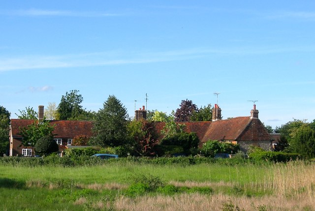
Image: © Simon Carey Taken: 21 May 2017
A set of six cottages in the shape of an 'L'. The south wing on the right was built as a single building in the 17th century with the west wing added in the 18th.
Images are licensed for reuse under creativecommons.org/licenses/by-sa/2.0
Image Location
Latitude
50.92863
Longitude
-0.268658