Woods Field
Introduction
The photograph on this page of Woods Field by Simon Carey as part of the Geograph project.
The Geograph project started in 2005 with the aim of publishing, organising and preserving representative images for every square kilometre of Great Britain, Ireland and the Isle of Man.

There are currently over 7.5m images from over 14,400 individuals and you can help contribute to the project by visiting https://www.geograph.org.uk
Woods Field
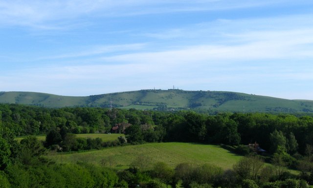
Image: © Simon Carey Taken: 21 May 2017
The name of the field according to Henfield's 1844 tithe map. The triangular shaped field is bounded by Image and Image to the east, Image to the north west and Image to the west beyond which is the wooded Broadmere Common. On the horizon are the transmitter masts on Truleigh Hill.
Images are licensed for reuse under creativecommons.org/licenses/by-sa/2.0
Image Location
Latitude
50.922135
Longitude
-0.267334