St. Barts old vicarage
Introduction
The photograph on this page of St. Barts old vicarage by Annette Randle as part of the Geograph project.
The Geograph project started in 2005 with the aim of publishing, organising and preserving representative images for every square kilometre of Great Britain, Ireland and the Isle of Man.

There are currently over 7.5m images from over 14,400 individuals and you can help contribute to the project by visiting https://www.geograph.org.uk
St. Barts old vicarage
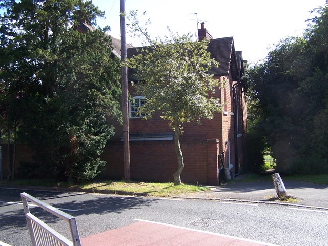
Image: © Annette Randle Taken: 26 Aug 2007
This building is no longer used as the vicarage.
Images are licensed for reuse under creativecommons.org/licenses/by-sa/2.0
Image Location
Latitude
52.554895
Longitude
-2.158068