Cerdic Close
Introduction
The photograph on this page of Cerdic Close by Nigel Mykura as part of the Geograph project.
The Geograph project started in 2005 with the aim of publishing, organising and preserving representative images for every square kilometre of Great Britain, Ireland and the Isle of Man.

There are currently over 7.5m images from over 14,400 individuals and you can help contribute to the project by visiting https://www.geograph.org.uk
Cerdic Close
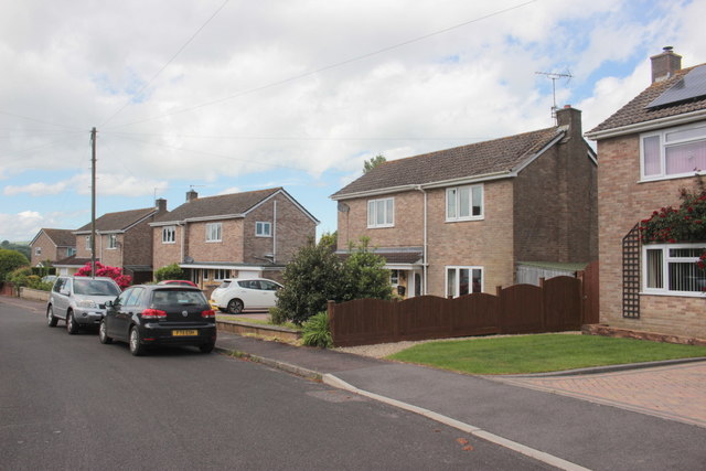
Image: © Nigel Mykura Taken: 26 May 2017
These detached modern brick built houses are in a short cul de sac on a housing estate on the western side of Chard.
Images are licensed for reuse under creativecommons.org/licenses/by-sa/2.0
Image Location
Latitude
50.876191
Longitude
-2.948105