Blunsdon By-pass south site, Blunsdon 30.08.2007
Introduction
The photograph on this page of Blunsdon By-pass south site, Blunsdon 30.08.2007 by Brian Robert Marshall as part of the Geograph project.
The Geograph project started in 2005 with the aim of publishing, organising and preserving representative images for every square kilometre of Great Britain, Ireland and the Isle of Man.

There are currently over 7.5m images from over 14,400 individuals and you can help contribute to the project by visiting https://www.geograph.org.uk
Blunsdon By-pass south site, Blunsdon 30.08.2007
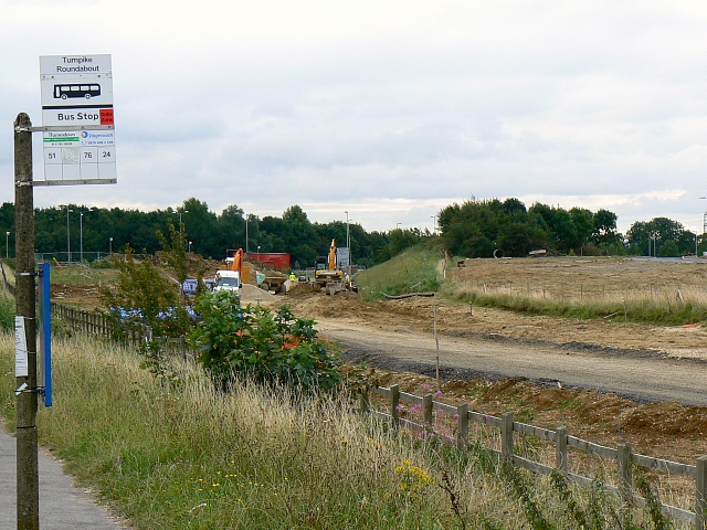
Image: © Brian Robert Marshall Taken: 30 Aug 2007
One of an occasional series looking at progress of this project. This and several other photos of the by-pass project can be seen in this gallery: http://www.geograph.org.uk/gallery/the_construction_of_the_blunsdon_bypass_2006_to_2009_10672
Images are licensed for reuse under creativecommons.org/licenses/by-sa/2.0
Image Location


Leaflet Map data © OpenStreetMap
Latitude
51.60234
Longitude
-1.783374