West Road demolition site, Nottage, Porthcawl
Introduction
The photograph on this page of West Road demolition site, Nottage, Porthcawl by Jaggery as part of the Geograph project.
The Geograph project started in 2005 with the aim of publishing, organising and preserving representative images for every square kilometre of Great Britain, Ireland and the Isle of Man.

There are currently over 7.5m images from over 14,400 individuals and you can help contribute to the project by visiting https://www.geograph.org.uk
West Road demolition site, Nottage, Porthcawl
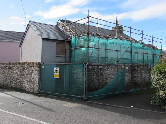
Image: © Jaggery Taken: 4 Mar 2017
A fenced-off derelict building is being demolished in early March 2017.
Images are licensed for reuse under creativecommons.org/licenses/by-sa/2.0
Image Location
Latitude
51.490446
Longitude
-3.703755