West side of Harcourt Terrace, Tredegar
Introduction
The photograph on this page of West side of Harcourt Terrace, Tredegar by Jaggery as part of the Geograph project.
The Geograph project started in 2005 with the aim of publishing, organising and preserving representative images for every square kilometre of Great Britain, Ireland and the Isle of Man.

There are currently over 7.5m images from over 14,400 individuals and you can help contribute to the project by visiting https://www.geograph.org.uk
West side of Harcourt Terrace, Tredegar
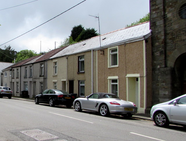
Image: © Jaggery Taken: 23 May 2017
Row of houses alongside the B4256. The edge of a Grade II listed derelict chapel http://www.geograph.org.uk/photo/5405135 is on the right.
Images are licensed for reuse under creativecommons.org/licenses/by-sa/2.0
Image Location
Latitude
51.7707
Longitude
-3.248042