Disused gasometer, Castlegreen, Dumbarton
Introduction
The photograph on this page of Disused gasometer, Castlegreen, Dumbarton by Lairich Rig as part of the Geograph project.
The Geograph project started in 2005 with the aim of publishing, organising and preserving representative images for every square kilometre of Great Britain, Ireland and the Isle of Man.

There are currently over 7.5m images from over 14,400 individuals and you can help contribute to the project by visiting https://www.geograph.org.uk
Disused gasometer, Castlegreen, Dumbarton
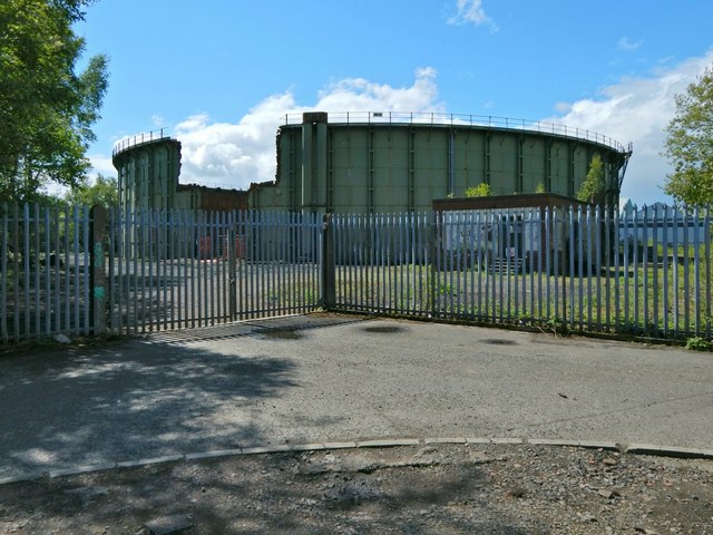
Image: © Lairich Rig Taken: 14 May 2017
There are barriers over the huge gash in the side. For a nearer view, through the fence, see Image At the time of writing, the gasometer is shown on the 1:25000 map.
Images are licensed for reuse under creativecommons.org/licenses/by-sa/2.0
Image Location
Latitude
55.938306
Longitude
-4.553397