Castlegreen Waste Water Pumping Station
Introduction
The photograph on this page of Castlegreen Waste Water Pumping Station by Lairich Rig as part of the Geograph project.
The Geograph project started in 2005 with the aim of publishing, organising and preserving representative images for every square kilometre of Great Britain, Ireland and the Isle of Man.

There are currently over 7.5m images from over 14,400 individuals and you can help contribute to the project by visiting https://www.geograph.org.uk
Castlegreen Waste Water Pumping Station
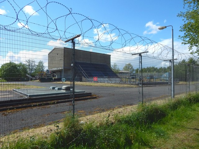
Image: © Lairich Rig Taken: 14 May 2017
The site is marked (as "Sewage Works") on the 1:25000 map. The large building directly ahead and the enclosure beside it are marked individually on the map. Given their small size, they might be taken (on the map) to be a bipartite building, but a closer look reveals that the part to the SW (the building) is shaded, while that to the NE (the enclosure) is not. For another part of the works, to the left of the photographer's position, see Image The site was upgraded in 2012.
Images are licensed for reuse under creativecommons.org/licenses/by-sa/2.0
Image Location
Latitude
55.937186
Longitude
-4.551081