Outflow of Hunter's Burn
Introduction
The photograph on this page of Outflow of Hunter's Burn by Lairich Rig as part of the Geograph project.
The Geograph project started in 2005 with the aim of publishing, organising and preserving representative images for every square kilometre of Great Britain, Ireland and the Isle of Man.

There are currently over 7.5m images from over 14,400 individuals and you can help contribute to the project by visiting https://www.geograph.org.uk
Outflow of Hunter's Burn
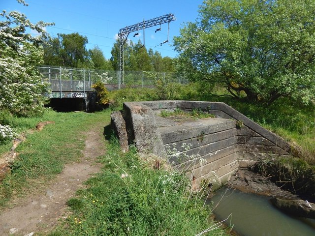
Image: © Lairich Rig Taken: 14 May 2017
The burn flows through the centre of the Image (Image) in the background, and then emerges from the concrete structure in the foreground, to flow into the Clyde: Image
Images are licensed for reuse under creativecommons.org/licenses/by-sa/2.0
Image Location
Latitude
55.935416
Longitude
-4.54536