Newcastle Avenue, Hainault
Introduction
The photograph on this page of Newcastle Avenue, Hainault by Malc McDonald as part of the Geograph project.
The Geograph project started in 2005 with the aim of publishing, organising and preserving representative images for every square kilometre of Great Britain, Ireland and the Isle of Man.

There are currently over 7.5m images from over 14,400 individuals and you can help contribute to the project by visiting https://www.geograph.org.uk
Newcastle Avenue, Hainault
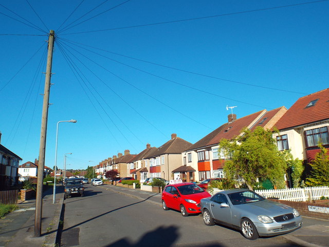
Image: © Malc McDonald Taken: 25 May 2017
Newcastle Avenue in Hainault, on the outer fringes of north east London. This road is doubtlessly named after Newcastle-under-Lyme, one of the towns in the "Potteries" area of North Staffordshire. Adjoining roads are named after neighbouring towns - Burslem, Longport, Tunstall and Stoke.
Images are licensed for reuse under creativecommons.org/licenses/by-sa/2.0
Image Location


Leaflet Map data © OpenStreetMap
Latitude
51.605457
Longitude
0.108468