Church of All Saints, East Hanningfield
Introduction
The photograph on this page of Church of All Saints, East Hanningfield by Jim Osley as part of the Geograph project.
The Geograph project started in 2005 with the aim of publishing, organising and preserving representative images for every square kilometre of Great Britain, Ireland and the Isle of Man.

There are currently over 7.5m images from over 14,400 individuals and you can help contribute to the project by visiting https://www.geograph.org.uk
Church of All Saints, East Hanningfield
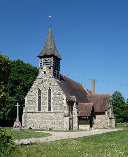
Image: © Jim Osley Taken: 25 May 2017
Grade II listed church completed in 1885 to a design by architect Henry Stone. Extensive description at this https://historicengland.org.uk/listing/the-list/list-entry/1408737.
Images are licensed for reuse under creativecommons.org/licenses/by-sa/2.0
Image Location
Latitude
51.681732
Longitude
0.560386