Linder's Field
Introduction
The photograph on this page of Linder's Field by Glyn Baker as part of the Geograph project.
The Geograph project started in 2005 with the aim of publishing, organising and preserving representative images for every square kilometre of Great Britain, Ireland and the Isle of Man.

There are currently over 7.5m images from over 14,400 individuals and you can help contribute to the project by visiting https://www.geograph.org.uk
Linder's Field
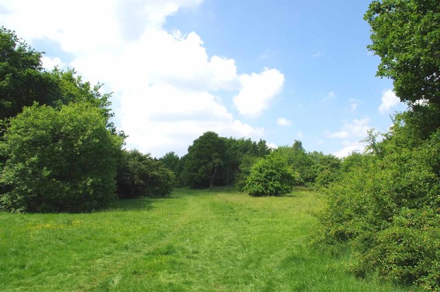
Image: © Glyn Baker Taken: 25 May 2017
Linders Field http://www.wildessex.net/sites/Linders%20Field.htm was left in trust to the people of Buckhurst Hill by buisnessman Charles Linder five years before his death in 1957. It is a Local Nature Reserve managed by Epping District Council with the help of Volunteers http://www.eppingforestdc.gov.uk/index.php/component/eventlist/venueevents/14-linder-s-field-local-nature-reserve. The shot is taken looking along one of the public footpaths that cross the reserve.
Images are licensed for reuse under creativecommons.org/licenses/by-sa/2.0
Image Location
Latitude
51.632204
Longitude
0.045261