Rusty gates at the entrance to a former National Coal Board site, Tredegar
Introduction
The photograph on this page of Rusty gates at the entrance to a former National Coal Board site, Tredegar by Jaggery as part of the Geograph project.
The Geograph project started in 2005 with the aim of publishing, organising and preserving representative images for every square kilometre of Great Britain, Ireland and the Isle of Man.

There are currently over 7.5m images from over 14,400 individuals and you can help contribute to the project by visiting https://www.geograph.org.uk
Rusty gates at the entrance to a former National Coal Board site, Tredegar
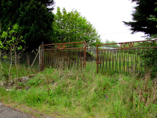
Image: © Jaggery Taken: 23 May 2017
The gates are near the Iron Row/Shop Row junction, set back from the entrance road to Bridge Street Industrial Estate. NCB on the left gate is the acronym of National Coal Board. The British Coal Estates For Sale board shown nearby in an April 2011 Google Earth Street View has gone in May 2017.
Images are licensed for reuse under creativecommons.org/licenses/by-sa/2.0
Image Location
Latitude
51.771566
Longitude
-3.242703