Ermington Road
Introduction
The photograph on this page of Ermington Road by Derek Harper as part of the Geograph project.
The Geograph project started in 2005 with the aim of publishing, organising and preserving representative images for every square kilometre of Great Britain, Ireland and the Isle of Man.

There are currently over 7.5m images from over 14,400 individuals and you can help contribute to the project by visiting https://www.geograph.org.uk
Ermington Road
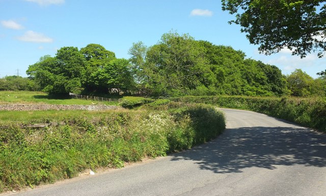
Image: © Derek Harper Taken: 24 May 2017
The road down the Erme valley south of Ivybridge makes a bend that takes it away from the river to Newlands Cross. The Erme-Plym Trail, however, which has followed the road for about 200 metres, continues straight on (to the right here) along Ugborough footpath 30.
Images are licensed for reuse under creativecommons.org/licenses/by-sa/2.0
Image Location
Latitude
50.380099
Longitude
-3.92062