View westwards from Cranham Farm
Introduction
The photograph on this page of View westwards from Cranham Farm by Marathon as part of the Geograph project.
The Geograph project started in 2005 with the aim of publishing, organising and preserving representative images for every square kilometre of Great Britain, Ireland and the Isle of Man.

There are currently over 7.5m images from over 14,400 individuals and you can help contribute to the project by visiting https://www.geograph.org.uk
View westwards from Cranham Farm
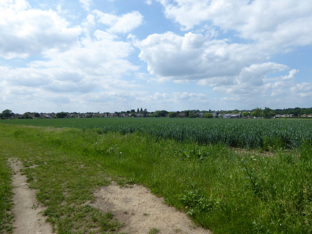
Image: © Marathon Taken: 24 May 2017
In Nairn's London (1966) Ian Nairn had this to say of Cranham: "Of all the ways in which London meets its countryside, this is the least credible. When the Green Belt came into force in 1938, the outward swell of buildings stopped dead,two fields away. So you can look back to the serried roofs from what is still an unspoilt Essex hamlet- farm, house, rectory and church (unhappily Victorian) in a big leafy churchyard. Essex doesn't go in for cosification, so this is still rough and honest. There is a terrifying forty miles of solid brickwork behind those demure-looking semis half a mile away. You feel as Canute might have on the beach, but unexpectedly successful." This view from the footpath next to Cranham Farm, and close to Cranham Hall and All Saints Church, illustrates this. The houses in the distance are in Argyle Gardens.
Images are licensed for reuse under creativecommons.org/licenses/by-sa/2.0
Image Location
Latitude
51.552467
Longitude
0.264116