Tree-lined southern perimeter of Marling School, Stroud
Introduction
The photograph on this page of Tree-lined southern perimeter of Marling School, Stroud by Jaggery as part of the Geograph project.
The Geograph project started in 2005 with the aim of publishing, organising and preserving representative images for every square kilometre of Great Britain, Ireland and the Isle of Man.

There are currently over 7.5m images from over 14,400 individuals and you can help contribute to the project by visiting https://www.geograph.org.uk
Tree-lined southern perimeter of Marling School, Stroud
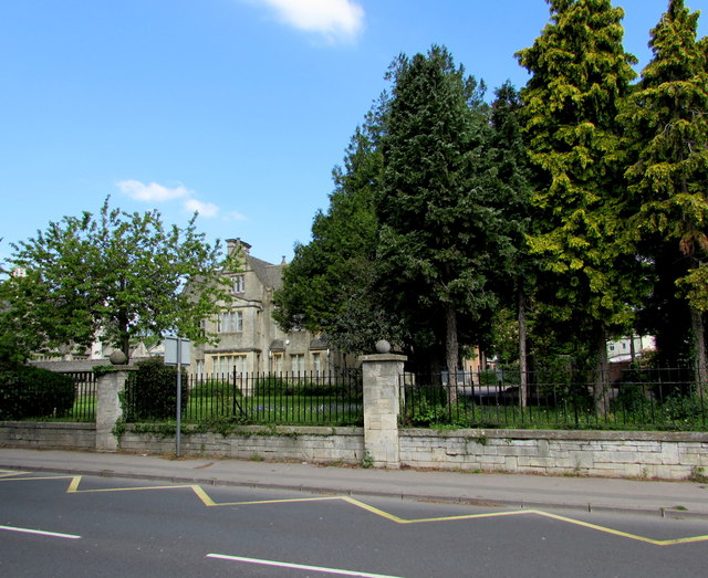
Image: © Jaggery Taken: 7 May 2017
On the north side of the A419 Cainscross Road where a zigzag yellow line marks a Keep Clear Zone (no parking or stopping). Marling School is a grammar school with academy status for boys aged 11-18.
Images are licensed for reuse under creativecommons.org/licenses/by-sa/2.0
Image Location
Latitude
51.745083
Longitude
-2.235897