Hollybush Community Centre
Introduction
The photograph on this page of Hollybush Community Centre by Jaggery as part of the Geograph project.
The Geograph project started in 2005 with the aim of publishing, organising and preserving representative images for every square kilometre of Great Britain, Ireland and the Isle of Man.

There are currently over 7.5m images from over 14,400 individuals and you can help contribute to the project by visiting https://www.geograph.org.uk
Hollybush Community Centre
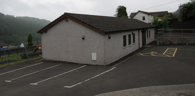
Image: © Jaggery Taken: 23 May 2017
The hall is accessed from the A4048 Newport Road via Banalog Terrace. The yellow marked area near the door is reserved for the vehicle of a blue badge holder. The Community Centre was built in 2007 with a grant from several local organisations and the support of a local business. The centre is managed by the Hollybush Residents Association, a registered charity. The hall has a capacity of 60. The meeting room is suitable for up to 12 people.
Images are licensed for reuse under creativecommons.org/licenses/by-sa/2.0
Image Location
Latitude
51.720188
Longitude
-3.211761