The former Stable Block at Teddesley Hall
Introduction
The photograph on this page of The former Stable Block at Teddesley Hall by Richard Law as part of the Geograph project.
The Geograph project started in 2005 with the aim of publishing, organising and preserving representative images for every square kilometre of Great Britain, Ireland and the Isle of Man.

There are currently over 7.5m images from over 14,400 individuals and you can help contribute to the project by visiting https://www.geograph.org.uk
The former Stable Block at Teddesley Hall
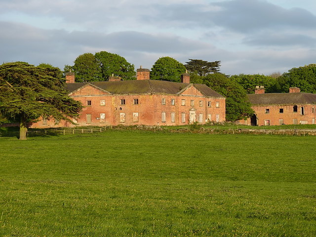
Image: © Richard Law Taken: 4 May 2017
The rather decrepit remains of the former stable block to the (now demolished) Teddesley Hall. It holds a Grade II listing http://www.britishlistedbuildings.co.uk/101374102-former-stable-block-to-teddesley-hall-teddesley-hay#.WSUpT-srKM8 granted in 1953, and dates back to the late 18th century. The building on the right, half visible in this shot, is the Image
Images are licensed for reuse under creativecommons.org/licenses/by-sa/2.0
Image Location
Latitude
52.739893
Longitude
-2.079051