Brearley Upper Lock in Mytholmroyd
Introduction
The photograph on this page of Brearley Upper Lock in Mytholmroyd by Bobby Clegg as part of the Geograph project.
The Geograph project started in 2005 with the aim of publishing, organising and preserving representative images for every square kilometre of Great Britain, Ireland and the Isle of Man.

There are currently over 7.5m images from over 14,400 individuals and you can help contribute to the project by visiting https://www.geograph.org.uk
Brearley Upper Lock in Mytholmroyd
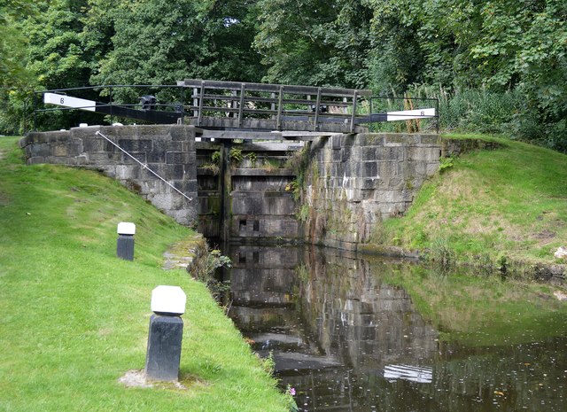
Image: © Bobby Clegg Taken: 4 Sep 2015
Lock No.6 on the Rochdale Canal. The lawns on either side of the lock wing walls look very neatly manicured.
Images are licensed for reuse under creativecommons.org/licenses/by-sa/2.0
Image Location


Leaflet Map data © OpenStreetMap
Latitude
53.73003
Longitude
-1.959644