Beighton
Introduction
The photograph on this page of Beighton by Stephen McKay as part of the Geograph project.
The Geograph project started in 2005 with the aim of publishing, organising and preserving representative images for every square kilometre of Great Britain, Ireland and the Isle of Man.

There are currently over 7.5m images from over 14,400 individuals and you can help contribute to the project by visiting https://www.geograph.org.uk
Beighton
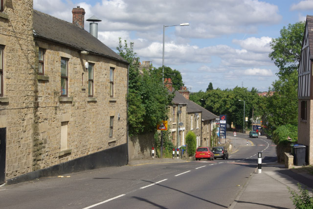
Image: © Stephen McKay Taken: 27 Aug 2007
Looking down High Street as it falls quite steeply from the area around the church into the bottom of the Rother Valley.
Images are licensed for reuse under creativecommons.org/licenses/by-sa/2.0
Image Location
Latitude
53.346903
Longitude
-1.335575