Track south from Tir Ysgubor Ddu
Introduction
The photograph on this page of Track south from Tir Ysgubor Ddu by M J Roscoe as part of the Geograph project.
The Geograph project started in 2005 with the aim of publishing, organising and preserving representative images for every square kilometre of Great Britain, Ireland and the Isle of Man.

There are currently over 7.5m images from over 14,400 individuals and you can help contribute to the project by visiting https://www.geograph.org.uk
Track south from Tir Ysgubor Ddu
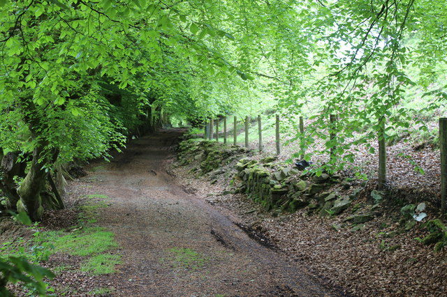
Image: © M J Roscoe Taken: 21 May 2017
Restricted byway, route of the former Blaen-y-Cwm Railroad, lined on the eastern side by beech trees, a northern continuation of byway Image
Images are licensed for reuse under creativecommons.org/licenses/by-sa/2.0
Image Location
Latitude
51.699526
Longitude
-3.100223