Caen House & Church View, The Drove
Introduction
The photograph on this page of Caen House & Church View, The Drove by John Baker as part of the Geograph project.
The Geograph project started in 2005 with the aim of publishing, organising and preserving representative images for every square kilometre of Great Britain, Ireland and the Isle of Man.

There are currently over 7.5m images from over 14,400 individuals and you can help contribute to the project by visiting https://www.geograph.org.uk
Caen House & Church View, The Drove
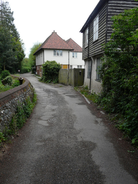
Image: © John Baker Taken: 7 May 2017
Caen House was described after my last visit as Image The weather-boarded Church View appeared to be uninhabited.
Images are licensed for reuse under creativecommons.org/licenses/by-sa/2.0
Image Location
Latitude
51.295528
Longitude
1.127245