From Park Hill towards Pencoed houses, Tredegar
Introduction
The photograph on this page of From Park Hill towards Pencoed houses, Tredegar by Jaggery as part of the Geograph project.
The Geograph project started in 2005 with the aim of publishing, organising and preserving representative images for every square kilometre of Great Britain, Ireland and the Isle of Man.

There are currently over 7.5m images from over 14,400 individuals and you can help contribute to the project by visiting https://www.geograph.org.uk
From Park Hill towards Pencoed houses, Tredegar
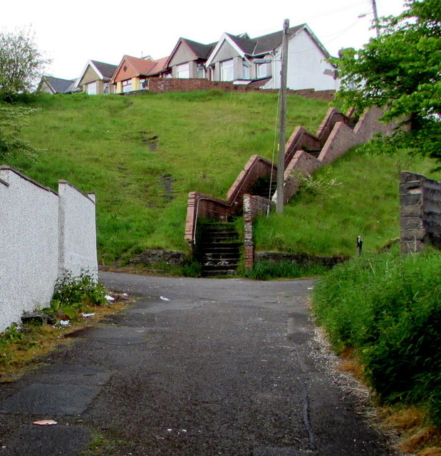
Image: © Jaggery Taken: 23 May 2017
A side road from the B4256 Park Hill ascends towards a long flight of steps http://www.geograph.org.uk/photo/5401157 up to the eastern end of the street named Pencoed.
Images are licensed for reuse under creativecommons.org/licenses/by-sa/2.0
Image Location
Latitude
51.768988
Longitude
-3.248429