Dominant tree on a Tredegar corner
Introduction
The photograph on this page of Dominant tree on a Tredegar corner by Jaggery as part of the Geograph project.
The Geograph project started in 2005 with the aim of publishing, organising and preserving representative images for every square kilometre of Great Britain, Ireland and the Isle of Man.

There are currently over 7.5m images from over 14,400 individuals and you can help contribute to the project by visiting https://www.geograph.org.uk
Dominant tree on a Tredegar corner
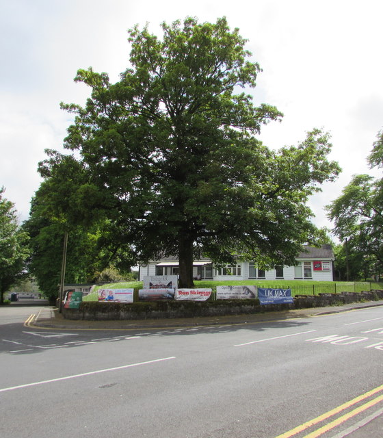
Image: © Jaggery Taken: 23 May 2017
The tree on the corner of Stable Lane and Park Hill partly hides the Tredegar Rugby Club clubhouse 20 metres behind it.
Images are licensed for reuse under creativecommons.org/licenses/by-sa/2.0
Image Location
Latitude
51.768461
Longitude
-3.247255