Waldon Point
Introduction
The photograph on this page of Waldon Point by Derek Harper as part of the Geograph project.
The Geograph project started in 2005 with the aim of publishing, organising and preserving representative images for every square kilometre of Great Britain, Ireland and the Isle of Man.

There are currently over 7.5m images from over 14,400 individuals and you can help contribute to the project by visiting https://www.geograph.org.uk
Waldon Point
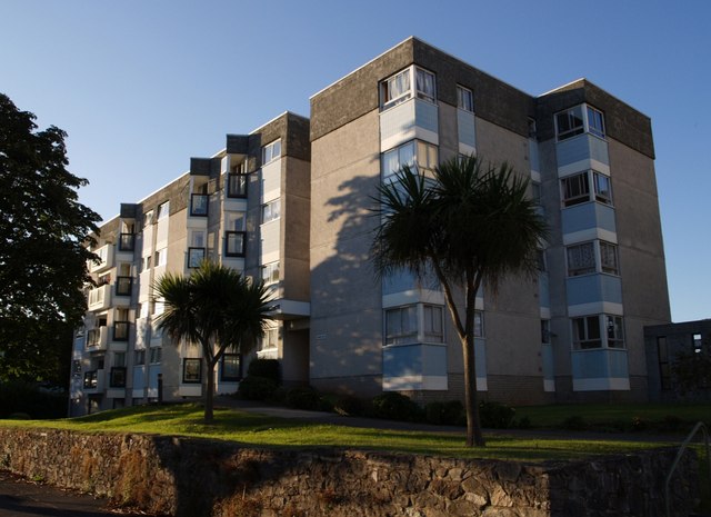
Image: © Derek Harper Taken: 26 Aug 2007
One of the two blocks of flats that make up Waldon Point, on top of Waldon Hill, above Torquay harbour. They are sandwiched between St Luke's Road South (from which this was taken) and St Luke's Road North.
Images are licensed for reuse under creativecommons.org/licenses/by-sa/2.0
Image Location
Latitude
50.463334
Longitude
-3.52975