From Dennis Hill
Introduction
The photograph on this page of From Dennis Hill by Derek Harper as part of the Geograph project.
The Geograph project started in 2005 with the aim of publishing, organising and preserving representative images for every square kilometre of Great Britain, Ireland and the Isle of Man.

There are currently over 7.5m images from over 14,400 individuals and you can help contribute to the project by visiting https://www.geograph.org.uk
From Dennis Hill
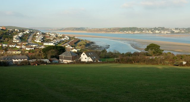
Image: © Derek Harper Taken: 20 Jan 2017
A view from the Saints' Way descending Dennis Hill down footpath 532 8/2, with Image] below. On the left are the suburbs of Padstow, with the Camel estuary curving round and Rock on the right.
Images are licensed for reuse under creativecommons.org/licenses/by-sa/2.0
Image Location


Leaflet Map data © OpenStreetMap
Latitude
50.532058
Longitude
-4.935497