Ordnance Survey cut benchmark
Introduction
The photograph on this page of Ordnance Survey cut benchmark by Michael Rye as part of the Geograph project.
The Geograph project started in 2005 with the aim of publishing, organising and preserving representative images for every square kilometre of Great Britain, Ireland and the Isle of Man.

There are currently over 7.5m images from over 14,400 individuals and you can help contribute to the project by visiting https://www.geograph.org.uk
Ordnance Survey cut benchmark
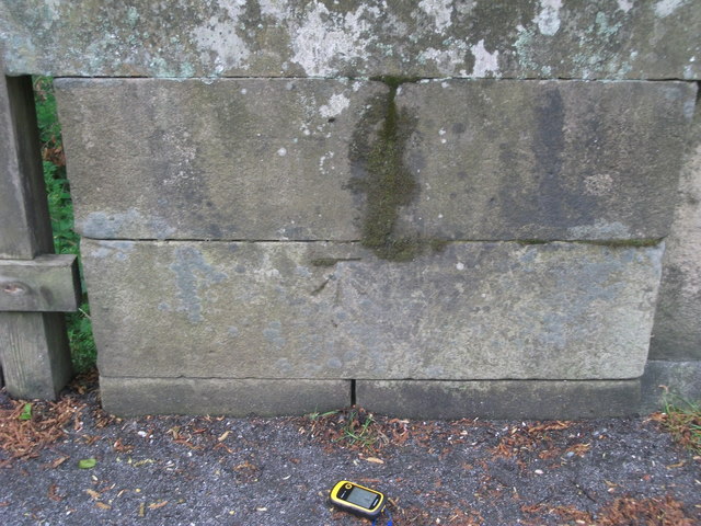
Image: © Michael Rye Taken: 21 May 2017
An Ordnance Survey cut bench mark on the bridge parapet, south side of the road, indicating a height of 149.41m above sea level.
Images are licensed for reuse under creativecommons.org/licenses/by-sa/2.0
Image Location
Latitude
55.23171
Longitude
-2.17937