Along the northern edge of Bright's Plantation
Introduction
The photograph on this page of Along the northern edge of Bright's Plantation by Richard Law as part of the Geograph project.
The Geograph project started in 2005 with the aim of publishing, organising and preserving representative images for every square kilometre of Great Britain, Ireland and the Isle of Man.

There are currently over 7.5m images from over 14,400 individuals and you can help contribute to the project by visiting https://www.geograph.org.uk
Along the northern edge of Bright's Plantation
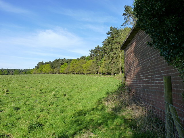
Image: © Richard Law Taken: 4 May 2017
It's not entirely clear what the small brick 'shed' on the right was; it doesn't look agricultural, and probably dates from one of the military occupations of the Chase for training purposes. It's disused and pretty much derelict now.
Images are licensed for reuse under creativecommons.org/licenses/by-sa/2.0
Image Location
Latitude
52.733077
Longitude
-2.047791