Camel Trail
Introduction
The photograph on this page of Camel Trail by Derek Harper as part of the Geograph project.
The Geograph project started in 2005 with the aim of publishing, organising and preserving representative images for every square kilometre of Great Britain, Ireland and the Isle of Man.

There are currently over 7.5m images from over 14,400 individuals and you can help contribute to the project by visiting https://www.geograph.org.uk
Camel Trail
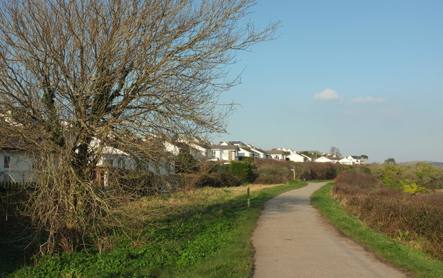
Image: © Derek Harper Taken: 20 Jan 2017
Passing the beginning of the southern suburbs of Padstow; the houses are on Porthilly View. The signpost indicates a path between the houses which also provides access to the nearby Saints' Way.
Images are licensed for reuse under creativecommons.org/licenses/by-sa/2.0
Image Location
Latitude
50.533689
Longitude
-4.935033