The Crewe Road near Glenavy (May 2017)
Introduction
The photograph on this page of The Crewe Road near Glenavy (May 2017) by Albert Bridge as part of the Geograph project.
The Geograph project started in 2005 with the aim of publishing, organising and preserving representative images for every square kilometre of Great Britain, Ireland and the Isle of Man.

There are currently over 7.5m images from over 14,400 individuals and you can help contribute to the project by visiting https://www.geograph.org.uk
The Crewe Road near Glenavy (May 2017)
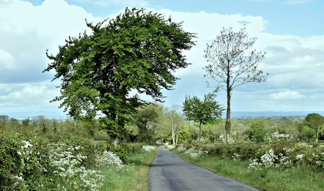
Image: © Albert Bridge Taken: 20 May 2017
A minor road, running south east through flat countryside, from the Lisburn Road, Glenavy, as it approaches the crossroads with the Crewe Park Road Image and Crewe Hill Image
Images are licensed for reuse under creativecommons.org/licenses/by-sa/2.0
Image Location
Latitude
54.56987
Longitude
-6.184453