Wat's Dyke heading for Gobowen
Introduction
The photograph on this page of Wat's Dyke heading for Gobowen by John Lucas as part of the Geograph project.
The Geograph project started in 2005 with the aim of publishing, organising and preserving representative images for every square kilometre of Great Britain, Ireland and the Isle of Man.

There are currently over 7.5m images from over 14,400 individuals and you can help contribute to the project by visiting https://www.geograph.org.uk
Wat's Dyke heading for Gobowen
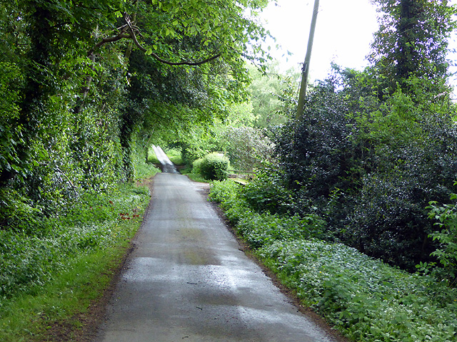
Image: © John Lucas Taken: 18 May 2017
Wat's Dyke was a 40 mile earthwork running from the River Dee to Maesbury in Shropshire. Much of it is still navigable, some on footpaths and some on country roads. Only traces of the original dyke are now visible.
Images are licensed for reuse under creativecommons.org/licenses/by-sa/2.0
Image Location
Latitude
52.90631
Longitude
-3.033612