The steep eastern side of Garrawy Glen
Introduction
The photograph on this page of The steep eastern side of Garrawy Glen by Lairich Rig as part of the Geograph project.
The Geograph project started in 2005 with the aim of publishing, organising and preserving representative images for every square kilometre of Great Britain, Ireland and the Isle of Man.

There are currently over 7.5m images from over 14,400 individuals and you can help contribute to the project by visiting https://www.geograph.org.uk
The steep eastern side of Garrawy Glen
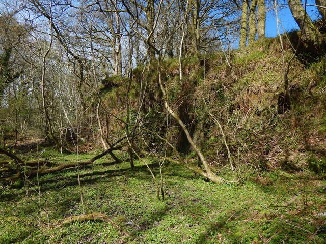
Image: © Lairich Rig Taken: 24 Apr 2017
The glen itself is said to have been a meltwater channel for the glaciers of the Loch Lomond Readvance. In that connection, the first paper cited below mentions the NW—SE trend of drumlins at nearby Townhead Farm. Ref: "The significance of blocks of shelly till from Townhead Farm, Helensburgh (P MacDonald, pages 41—42 of West Dunbartonshire Naturalist Report No 6; West Dunbartonshire Natural History Society, 1984). This in turn cites: Browne M A E, McMillan A A, Hall I H S (1983), "Blocks of marine clay in till near Helensburgh, Strathclyde", Scott. J. Geol., 19, 321—25.
Images are licensed for reuse under creativecommons.org/licenses/by-sa/2.0
Image Location
Latitude
56.009965
Longitude
-4.703964