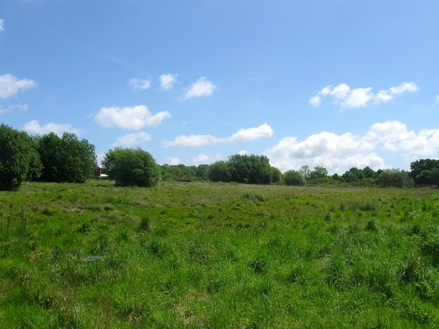
Sandgate Nurseries (2)
Introduction
The photograph on this page of Sandgate Nurseries (2) by Simon Carey as part of the Geograph project.
The Geograph project started in 2005 with the aim of publishing, organising and preserving representative images for every square kilometre of Great Britain, Ireland and the Isle of Man.
There are currently over 7.5m images from over 14,400 individuals and you can help contribute to the project by visiting https://www.geograph.org.uk

Image: © Simon Carey Taken: 14 May 2017
Originally a field called Four Acres according to Henfield's 1844 tithe map. From the 1960s onwards the field was part of Sandgate Nurseries, one of a number that could be found between the village and the river most of whom have now disappeared. I'm not sure when this nursery ceased business but the site was vacant in 2014 when plans for 72 homes were submitted. These were initially rejected by Horsham District Council but the developers appealed first to the planning inspector then the Secretary of State where the latter upheld the rejection in January 2017. What will become of the site is as yet unknown. Until a few weeks ago the site was protected by boards, see Image, but these have now been removed. See also Image

