Eastern edge of Westfield Gardens, Malpas, Newport
Introduction
The photograph on this page of Eastern edge of Westfield Gardens, Malpas, Newport by Jaggery as part of the Geograph project.
The Geograph project started in 2005 with the aim of publishing, organising and preserving representative images for every square kilometre of Great Britain, Ireland and the Isle of Man.

There are currently over 7.5m images from over 14,400 individuals and you can help contribute to the project by visiting https://www.geograph.org.uk
Eastern edge of Westfield Gardens, Malpas, Newport
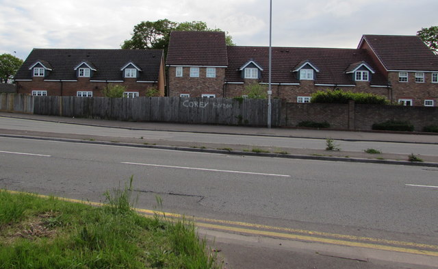
Image: © Jaggery Taken: 20 May 2017
Viewed across the A4051 Malpas Road from the corner of Pillmawr Road. Houses in Westfield Gardens were built in the first decade of the 21st century.
Images are licensed for reuse under creativecommons.org/licenses/by-sa/2.0
Image Location
Latitude
51.61208
Longitude
-3.005244