Footpath to Hall Lane
Introduction
The photograph on this page of Footpath to Hall Lane by Marathon as part of the Geograph project.
The Geograph project started in 2005 with the aim of publishing, organising and preserving representative images for every square kilometre of Great Britain, Ireland and the Isle of Man.

There are currently over 7.5m images from over 14,400 individuals and you can help contribute to the project by visiting https://www.geograph.org.uk
Footpath to Hall Lane
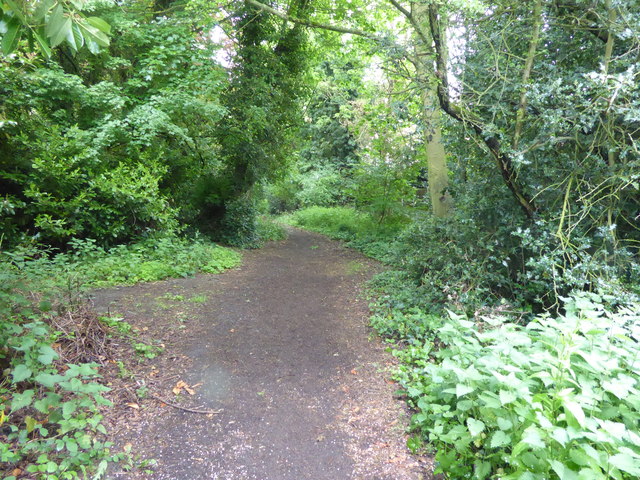
Image: © Marathon Taken: 17 May 2017
A footpath within a belt of trees leads from Sawyer's Hall Lane to reach Hall Lane near St Mary the Virgin Churchyard, Shenfield.
Images are licensed for reuse under creativecommons.org/licenses/by-sa/2.0
Image Location
Latitude
51.630587
Longitude
0.316268