Four Acres
Introduction
The photograph on this page of Four Acres by Simon Carey as part of the Geograph project.
The Geograph project started in 2005 with the aim of publishing, organising and preserving representative images for every square kilometre of Great Britain, Ireland and the Isle of Man.

There are currently over 7.5m images from over 14,400 individuals and you can help contribute to the project by visiting https://www.geograph.org.uk
Four Acres
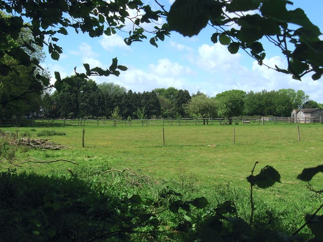
Image: © Simon Carey Taken: 14 May 2017
The name of the field according to Henfield's 1844 tithe map. The northern part of the field adjacent to West End Lane now contains a number of dwellings leaving just this southern section which for a period after the Second World War was a nursery, one of many once found between the western edge of Henfield and the River Adur.
Images are licensed for reuse under creativecommons.org/licenses/by-sa/2.0
Image Location
Latitude
50.930133
Longitude
-0.297491