2-3, Church Lane, Henfield
Introduction
The photograph on this page of 2-3, Church Lane, Henfield by Simon Carey as part of the Geograph project.
The Geograph project started in 2005 with the aim of publishing, organising and preserving representative images for every square kilometre of Great Britain, Ireland and the Isle of Man.

There are currently over 7.5m images from over 14,400 individuals and you can help contribute to the project by visiting https://www.geograph.org.uk
2-3, Church Lane, Henfield
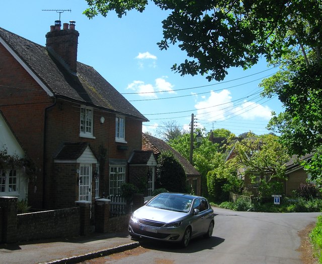
Image: © Simon Carey Taken: 14 May 2017
A pair of 19th century cottages to the south of the church. Beyond is the junction of Church Lane and Tan Yard.
Images are licensed for reuse under creativecommons.org/licenses/by-sa/2.0
Image Location
Latitude
50.931808
Longitude
-0.276795