Craggits Lane, Henfield
Introduction
The photograph on this page of Craggits Lane, Henfield by Simon Carey as part of the Geograph project.
The Geograph project started in 2005 with the aim of publishing, organising and preserving representative images for every square kilometre of Great Britain, Ireland and the Isle of Man.

There are currently over 7.5m images from over 14,400 individuals and you can help contribute to the project by visiting https://www.geograph.org.uk
Craggits Lane, Henfield
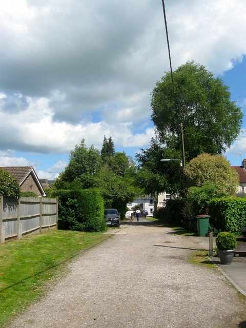
Image: © Simon Carey Taken: 14 May 2017
An unmade road heading south from Church Street providing access to Image The lane has long been a footpath but remained undeveloped until the 1960s.
Images are licensed for reuse under creativecommons.org/licenses/by-sa/2.0
Image Location
Latitude
50.931943
Longitude
-0.273801